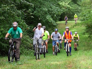
These trails have been designed with safety and enjoyability in mind. Difficult and dangerous sections have been minimized.
Be safe and enjoy the rides.
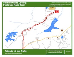
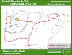
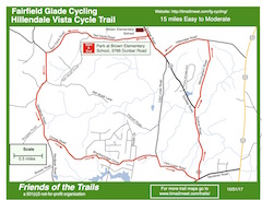
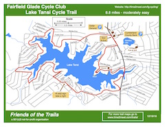
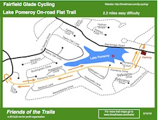
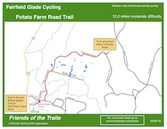
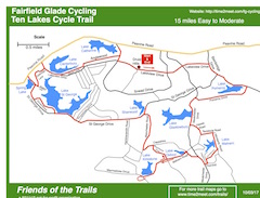
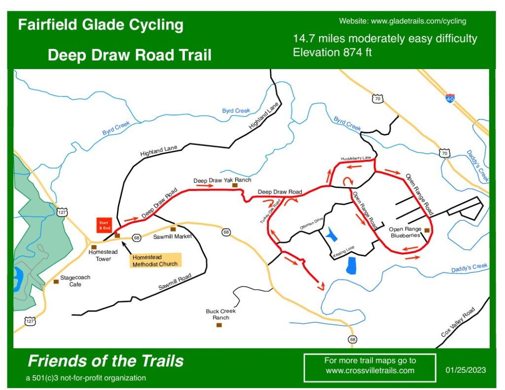
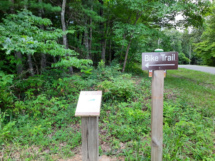
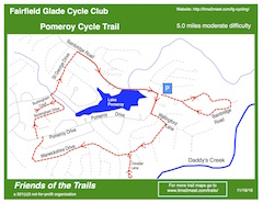
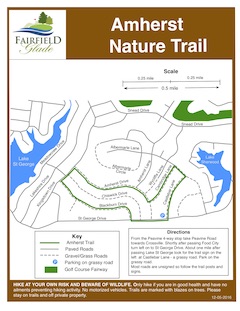
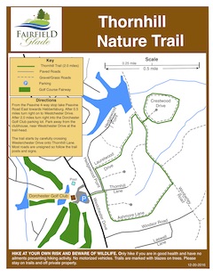
The maps, below, are self-explanatory, however if you would like a guide or more information contact our Facebook group – Glade Cyclists. Your feedback is appreciated.
In Fairfield Glade, trails are intentionally designed, by the Trails Committee and their members and volunteers. The designs are essential for safety and proper drainage. No trail modifications are allowed. This includes filling stepovers, removing obstacles, or creating alternate paths. If you see an issue on the trail, please report it to our Trail Maintenance Crew.
Trail work may only be performed by the Trail Committee and its authorized members or volunteers.
Novice mountain bikers unfamiliar with the technique needed to safely cross stepovers while riding can view a short video here.